Ayubowan !!! Welcome !!!
Sri
Lankalasantha Tours, I'm Tour Operator and Travel Agent in Sri
lanka. Our Staff always giving the best service to the foreigners who
visiting to this land of paradise for their vacation. We have
comfortable cars and vans with qualified, safely and professional
drivers.
Sri Lanka is amazing diversity of scenery. It is possible
to pass brilliant green paddy field, sun-bronzed beaches, ruined
cities, small lively villages..
Contact : Mobil;-  +94777856771 Email :- lasantha777@hotmail.com
My gust photo

Sigiriya (Lion's rock ) is
a large stone and ancient rock fortress and palace ruin in the
central Matale District of Sri Lanka, surrounded by the remains of an
extensive network of gardens, reservoirs, and other structures. A
popular tourist destination, Sigiriya is also renowned for its ancient
paintings (frescos), which are reminiscent of the Ajanta
Caves of India. It is one of the eight World Heritage Sites of Sri
Lanka. It is also declared by UNESCO as the 8th Wonder of the World.
Sigiriya may have been inhabited through prehistoric times. It was
used as a rock-shelter mountain monastery from about the 5th century
BC, with caves prepared and donated by devotees of the Buddhist Sangha.
According to the chronicles as Mahavamsa the entire complex was built
by King Kashyapa (AD 477 – 495), and after the king's death, it was
used as a Buddhist monastery until 14th century.
The Sigiri inscriptions were deciphered by the archaeologist Senarath
Paranavithana in his renowned two-volume work, published by
Cambridge, Sigiri Graffiti and also Story of Sigiriya.
Location and geographical features
Sigiriya is located in the Matale District, Central
Province in the Central Province of Sri Lanka. It is within
the cultural triangle, which includes five of the eight world heritage
sites in Sri Lanka.
The Sigiriya rock is a hardened magma plug from an extinct
and long-eroded volcano. It stands high above the surrounding plain,
visible for miles in all directions. The rock rests on a steep mound
that rises abruptly from the flat plain surrounding it. The rock itself
rises approximately 370 m (1,214 ft) above sea level and is sheer on
all sides, in many places overhanging the base. It is elliptical in
plan and has a flat top that slopes gradually along the long axis of
the ellipse
History
In 477 CE, prince Kashyapa seized the throne from
King Dhatusena, following a coup assisted by Migara, the king’s nephew
and army commander. Kashyapa, the king’s son by a non-royal consort,
usurped the throne from the rightful heir, Moggallana, who fled
to South India. Fearing an attack from Moggallana, Kashyapa moved the
capital and his residence from the traditional capital
of Anuradhapura to the more secure Sigiriya. During King Kashyapa’s
reign (477 to 495), Sigiriya was developed into a complex city and
fortress. Most of the elaborate constructions on the rock summit and
around it, including defensive structures, palaces, and gardens, date
back to this period.
The Mahavamsa, the ancient historical record of Sri Lanka,
describes King Kashyapa as the son of King Dhatusena. Kashyapa murdered
his father by walling him up alive and then usurping the throne which
rightfully belonged to his brother Mogallana, Dhatusena's son by the
true queen. Mogallana fled to India to escape being assassinated by
Kashyapa but vowed revenge. In India he raised an army with the
intention of returning and retaking the throne of Sri Lanka which he
considered to be rightfully his. Knowing the inevitable return of
Mogallana, Kashyapa is said to have built his palace on the summit of
Sigiriya as a fortress and pleasure palace. Mogallana finally arrived
and declared war. During the battle Kashyapa's armies abandoned him and
he committed suicide by falling on his sword.
Archaeological remains and features
In 1831 Major Jonathan Forbes of the 78th Highlanders of
the British army, while returning on horseback from a trip to
Pollonnuruwa, came across the "bush covered summit of Sigiriya".
Sigiriya came to the attention of antiquarians and, later,
archaeologists. Archaeological work at Sigiriya began on a small scale
in the 1890s. H.C.P. Bell was the first archaeologist to conduct
extensive research on Sigiriya. The Cultural Triangle Project, launched
by the Government of Sri Lanka, focused its attention on Sigiriya in
1982. Archaeological work began on the entire city for the first time
under this project. There was a sculpted lion's head above the legs and
paws flanking the entrance, but the head broke down many years ago.
Frescoes
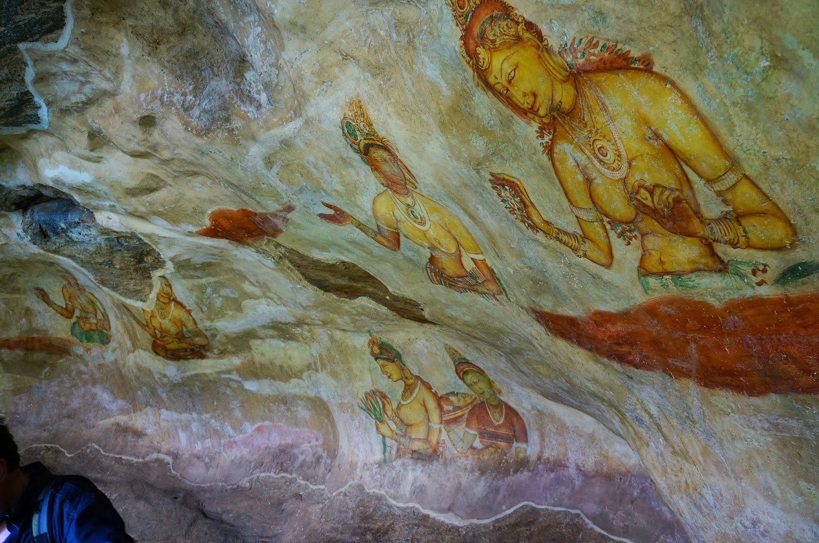
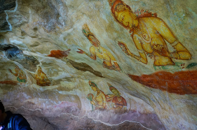
John Still in 1907 suggested, "The whole face of the hill
appears to have been a gigantic picture gallery... the largest picture
in the world perhaps". The paintings would have covered most of the
western face of the rock, covering an area 140 meters long and 40
meters high. There are references in the graffiti to 500 ladies in
these paintings. However, many more are lost forever, having been wiped
out when the Palace once more became a monastery − so that they would
not disturb meditation. Some more frescoes, different from the popular
collection, can be seen elsewhere on the rock surface, for example on
the surface of the location called the "Cobra Hood Cave".
Although the frescoes are classified as in
the Anuradhapura period, the painting style is considered unique the
line and style of application of the paintings differing from
Anuradhapura paintings. The lines are painted in a form which enhances
the sense of volume of the figures. The paint has been applied in
sweeping strokes, using more pressure on one side, giving the effect of
a deeper colour tone towards the edge. Other paintings of the
Anuradhapura period contain similar approaches to painting, but do not
have the sketchy lines of the Sigiriya style, having a distinct
artists' boundary line. The true identities of the ladies in these
paintings still have not been confirmed. There are various ideas about
their identity. Some believe that they are the wives of the king while
some think that they are women taking part in religious observances.
These pictures have a close resemblance to some of the paintings seen in
the ajanta caves in India
The Mirror Wall
Originally this wall was so well polished that the king
could see himself whilst he walked alongside it. Made of a kind of
porcelain, the wall is now partially covered with verses scribbled by
visitors to the rock. Well preserved, the mirror wall has verses dating
from the 8th century. People of all types wrote on the wall, on
varying subjects such as love, irony, and experiences of all sorts.
Further writing on the mirror wall has now been banned.
The gardens
The Gardens of the Sigiriya city are one of the most
important aspects of the site, as it is among the oldest landscaped
gardens in the world. The gardens are divided into three distinct but
linked forms: water gardens, cave and boulder gardens, and terraced
gardens.
The water gardens
The water gardens can be seen in the central section of the
western precinct. Three principal gardens are found here. The first
garden consists of a plot surrounded by water. It is connected to the
main precinct using four causeways, with gateways placed at the head of
each causeway. This garden is built according to an ancient garden
form known as char bhag, and is one of the oldest surviving models of
this form.
The second contains two long, deep pools set on either side
of the path. Two shallow, serpentine streams lead to these pools.
Fountains made of circular limestone plates are placed here.
Underground water conduits supply water to these fountains which are
still functional, especially during the rainy season. Two large islands
are located on either side of the second water garden. Summer palaces
are built on the flattened surfaces of these islands. Two more islands
are located farther to the north and the south. These islands are built
in a manner similar to the island in the first water garden.
The third garden is situated on a higher
level than the other two. It contains a large, octagonal pool with a
raised podium on its northeast corner. The large brick and stone wall
of the citadel is on the eastern edge of this garden.
The water gardens are built symmetrically on an east-west
axis. They are connected with the outer moat on the west and the large
artificial lake to the south of the Sigiriya rock. All the pools are
also interlinked using an underground conduit network fed by the lake,
and connected to the moats. A miniature water garden is located to the
west of the first water garden, consisting of several small pools and
watercourses. This recently discovered smaller garden appears to have
been built after the Kashyapan period, possibly between the 10th and
13th centuries.
The boulder gardens
The boulder gardens consist of several large boulders linked
by winding pathways. The gardens extend from the northern slopes to
the southern slopes of the hills at the foot of Sigiriya rock. Most of
these boulders had a building or pavilion upon them; there are cuttings
that were used as footings for brick walls and beams.
The audience hall of the king was situated in the boulder
garden, the remains of which are seen on the flattened and polished
summit of a large boulder. There is also a five-meter-long granite
throne in this hall. The throne is carved from the boulder itself, and
is not separated from it. Another notable feature in the boulder garden
is the Cistern rock, named after a large, carved cistern atop it. A
large archway, created by two boulders, provides access to the terraced
gardens.
The terraced gardens
The terraced gardens are formed from the natural hill at the
base of the Sigiriya rock. A series of terraces rises from the
pathways of the boulder garden to the staircases on the rock. These
have been created by the construction of brick walls, and are located
in a roughly concentric plan around the rock. The path through the
terraced gardens is formed by a limestone staircase. From this
staircase, there is a covered path on the side of the rock, leading to
the uppermost terrace where the lion staircase is situated.